16/06/2012 - Three Peaks (and Three Reservoirs)

With a few diary conflicts Martin was unavailable for a Saturday walk so would train solo on Sunday with Polly stuck up in Yorkshire also training solo, it was left to Mark and Lee to train together in what has become one of our favourite training spots over the last few months. 

The training schedule required a 46km - 11 hour walk so a plan was hatched using a route we have done before but adding in a whole new area of territory using the car park at the Knot Inn as a start, mid-point and finish. We would start from Rushton Spencer, head to The Cloud (Peak 1), then to Bosley (Reservoir 1), Croker Hill (Peak 2), back to Rushton, then Gun Hill (Peak 3), Tittesworth Reservoir (Reservoir 2), Rudyard (Reservoir 3) and back to Rushton.

As  this would be unsupported, we packed the car with a coolbox and load of goodies like sandwiches, flapjacks, peanuts, pasta salad, choccy bars, lucozade, extra water along with spare socks, trail shoes and T-shirts.

The weather over the previous few days had been shocking and over an inch of rain had fallen in The Peak District with more forecasted with high winds and blustery conditions. This wasn't going to be a pleasant 46km but would be a chance to test our wet weather gear and Mark's new BAM wicking underwear as at the end of the day - we can't pick the weather on Trailwalker.

Listen mate - we've trained with the Gurkhas....
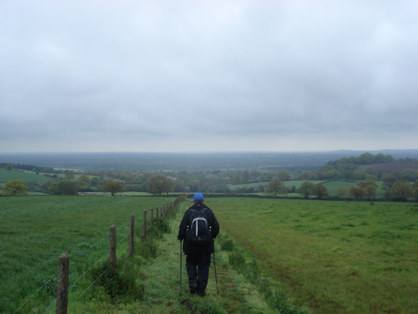
We hit the trail at 9:10am and headed for The Cloud. As we came off the old Railway and into the fields we were quickly greeted by the boggy conditions caused by the recent rainfall and made worse by the Fresian inhabitants of the field. A little further on we found a sign lying face down in the mud across the footpath. A quick lift proclaimed the footpath closed by National Grid due to overhead line works. Deciding we could argue we missed it, we decided to carry on relying on the rubber insulation of our walking pole handles and boot soles should we get struck by a live overhead wire. Crossing under the pylons, there was no sign of any hi-vis jacketed workers so we pressed on up towards The Cloud.

As suspected, today there was little activity at the top of The Cloud and in a business like fashion we touched the trig point as we passed and headed down the face of the hill towards Bosley. As we came to the low point we were confronted by yet another 'Footpath Closed' sign and it seemed out friends at National Grid were determined to ruin our plan. A quick glance at the map gave us an alternative route along the road but we asked ourselves what the Gurkhas would do? Donning camouflage paint, we decided to go for it and decided the worst that could happen would be getting turned back. This time we could see the National Grid workers high up on one of the pylons and decided we would be through before they could get down to stop us and it was on to Bosley reservoir unhindered.

Bosley Dam - Done

It was business as usual at Bosley, the reservoir level was up given the recent rainfall, the funny looking black sheep were minding their own business and a few fisherman were sat in their shelters. As we climbed from Bosley we stopped for our first break at a point we've used before. A quick sandwich, lucozade, peanuts, choccy bar and flap jack were downed. Mark's feet were feeling a little damp and a quick check of each confirmed them on the moist side of damp so the gaiters were adjusted and we were on our way after about 12minutes.


The climb to the top of Croker Hill wasn't too eventful other than the effects of the recent wet and warm weather had encouraged massive grass and nettle growth to the point where the path had been lost in places requiring us to hold our walking poles aloft like soldiers wading through a swamp with their rifles. Touching the gates to the BT compound at the top we headed on down and then along the Golden Hill ridge noting the surrounding peaks shrouded in mist and the obvious signs of bad weather. Here the wind picked up to the point of making conversation inaudible and as we descended we met two gents heading up - wearing a soaked T-Shirt and cotton shirt and overheard one say to the other "Looks like we've got some weather heading our way". We weren't sure what weather forecast they'd looked at that morning but clearly they weren't dressed for the conditions but sure enough, the weather was shortly on us as we pulled up our hoods as the rain came in sideways. It was at this point something from the Brixham Badgers Trailwalker presentation came to mind - "Waterproof is a relative term". Mulling this over as the rain ran down our outside and sweat ran down our inside we thought how true this is as it became clear something wasn't right in Mark's boots as damp was turning to wet and this would need to be addressed as we reached our second checkpoint at the car park back in Rushton Spencer.

While we had planned a 10-15minute stop it was quickly apparent Mark would need more than a change of socks. As the socks came off, so did his zinc oxide tape as the moisture had completely de-bonded it from the skin and the skin had now softened. To make matters worse, the special orthotic insoles were also wet. A quick decision was made to hurriedly re-tape, change socks and boots. Coupling this with re-fueling, and re-stocking the backpack for the next checkpoint, the stop became an uncomfortable 35minutes sat on the back bumper as the rain re-started.

With Mark still guzzling Lucozade and downing a Mars bar we set off for Gun Hill which was to be a long ascent to the summit but at least now with dry feet. We mulled over how the stop would have been improved. Of course we'd have our support team, they would have the food ready and would re-stock the backpack with water etc. but having to re-tape wasn't something we were hoping to have to do.


The Cloud (left) and Croker Hill (right) from Gun Hill
The walk over the summit of Gun Hill was a case of dodging the big muddy puddles and our preferred route weaved left and right to the trig point and with some satisfaction we touched the trig knowing this was our third 'big' hill of the day and started our long slow descent to Tittesworth Reservoir. Tittesworth dams the River Churnet and supplies 10 million gallons of water a day to Severn Trent Water. It also has a large car park, visitor centre and big childrens play area making it quite a popular spot, though not so it seemed today. 


Lee with his new mate Bob

As we descended towards Leek, we lost sight of the reservoir altogether but once we dog-legged back over a hill it came back into view. It was at this point we realised we'd probably been walking for too long as first an effigy of Dame Edna Everage and then Bob Marley were found lying at the gates of a farm. As we worked our way around the reservoir and into Meerbrook, more effigies were apparent adorning each house. Concerned that we might end up as effigies ourselves we pressed on to our third checkpoint - a nicely sheltered (and empty) barbecue area at the side of reservoir. 


So thats where all the water goes...

Something had been bothering Mark in his right boot over the last kilometre or so, so the chance was taken to inspect and as suspected, the hastily placed zinc oxide tape had rucked up on the softened skin and once again the socks were wet through. A quick minor re-taping job and the wet socks were put back on as there were no spares in the backpack. At 33km, with an anticipated 13km still to go (it was actually 15km), blisters were a concern now. Lee was also feeling the effect of the distance and terrain with pain in the knee joint. 


 As Mark put the medical kit away, a strip of ibuprofen fell out and a second thing from the Brixham Badgers presentation came to mind - "Drugs" - so we duly obliged and within minutes of setting off round the lake both commented on how much better we were feeling and happily threw a stick several times for a demanding Border Collie who seemed to have befriended us on our journey round the lake.

Tittesworth Dam
Crossing the dam at the far end of the reservoir we were soon ascending once again and ticked off our second reservoir heading for the last one on our list - Rudyard. As we climbed over our final summit, we knew it was all downhill and then there would be a long flat to the finish. Skirting the edge of Leek we dropped down to the old railway line. At this point, Mark proclaimed us to be a little over 6km from the car with the clock stood at 9hrs and 24minutes we agreed if we hit Gurkha "Tab" pace we could make it for 10hrs 30minutes. So off we set as the rain once again had other ideas, marching rapidly, walking poles pumping along the former railway line.


Boathouses on Rudyard Lake
Rudyard Lake was built to serve the expanding canal system in the early 1800's. When a railway was built linking Uttoxeter and Manchester, it became a haven for Victorian day-trippers. Among these were a courting couple who married and named their son after the lake - Rudyard Kipling. As we marched along as the rain fell, Mark mulled over the words to "If" - and the line "If you can fill the unforgiving minute with sixty seconds distance run" he wondered whether Rudyard was looking down on us now trying to work out whether we would fill sixty minutes with distance Tab. 

The old Railway Line seems to go on forever
What was clear is that the two and a half mile long lake seemed to go on forever and the railway line just seemed to keep going into the distance. The pace was taking its toll, Mark's feet were wet and sore, Lee's knee was hurting but we refused to ease off the pace. 10 hours 30minutes was the target and we counted down the kilometres and then the metres to the car park arriving there at 10hrs and 30minutes with the odometer showing 48km actually walked - further than we'd been before and despite the problematic pit-stops well on target for a 24hr Trailwalker pace. The Garmin download also showed we'd broken the 1000m climb level which was equally pleasing.

Resisting the temptation to stop for a pint in the Knot Inn, we stretched off, packed up and headed for Mark's house where wife and support team member Kate was rustling up some protein in the form of fillet steak as a reward for the days endeavours.

It was pleasing to report that despite wearing waterproofs for the full duration of this walk and getting wet feet, there were no blisters and the wicking underwear did exactly what it said on the tin.

This was our penultimate big training walk. This Sunday we plan to walk the entire length of the Sandstone Trail starting in Whitchurch and ending Frodsham - 55km with 1250m of climbs. This will be our first training walk with our support team and we've broken it into 5 stages to try and stay consistent with Trailwalker and give the support crew practice. We hope to complete it under 13 hours.

09/06/2012 - Training With The Gurkhas!

After the disappointment of the cancellation of our original planned Gurkha training, the day finally arrived for the rescheduled event. The email from Oxfam indicated the itinerary as Command Tasks - tough team bonding exercises, Training and Preparation - tips and advice, Army Exercise Simulation - walking with kit, Army Medic Advice - dealing with blisters/injuries/heat stroke, History of the QGS and Circuits and Aerobics - the bit I was least looking forward to! Oddly though there were only four teams who had taken up the offer, us, The Vale Venturers, The Bun Lovin Criminals and The Mental Orientals.

Teammate Polly had decided not to run a mountain marathon on Scotland so arriving with Lee collected Mark on the way to meet Martin at Junction 15 of the M6 at 8:30am for the journey to Bramcote Barracks. It transpired that Martin's flight from Amsterdam had been delayed and only arrived at 1am that morning so he was already somewhat jaded.

The journey quickly passed with everyone having a catch up given that Mark hadn't seen his teammates for over two weeks and we arrived at the end of the drive to the Barracks being greeted by the Trailwalker flags and were directed where to park by a solitary Gurkha soldier.

Welcome to the raw recruits
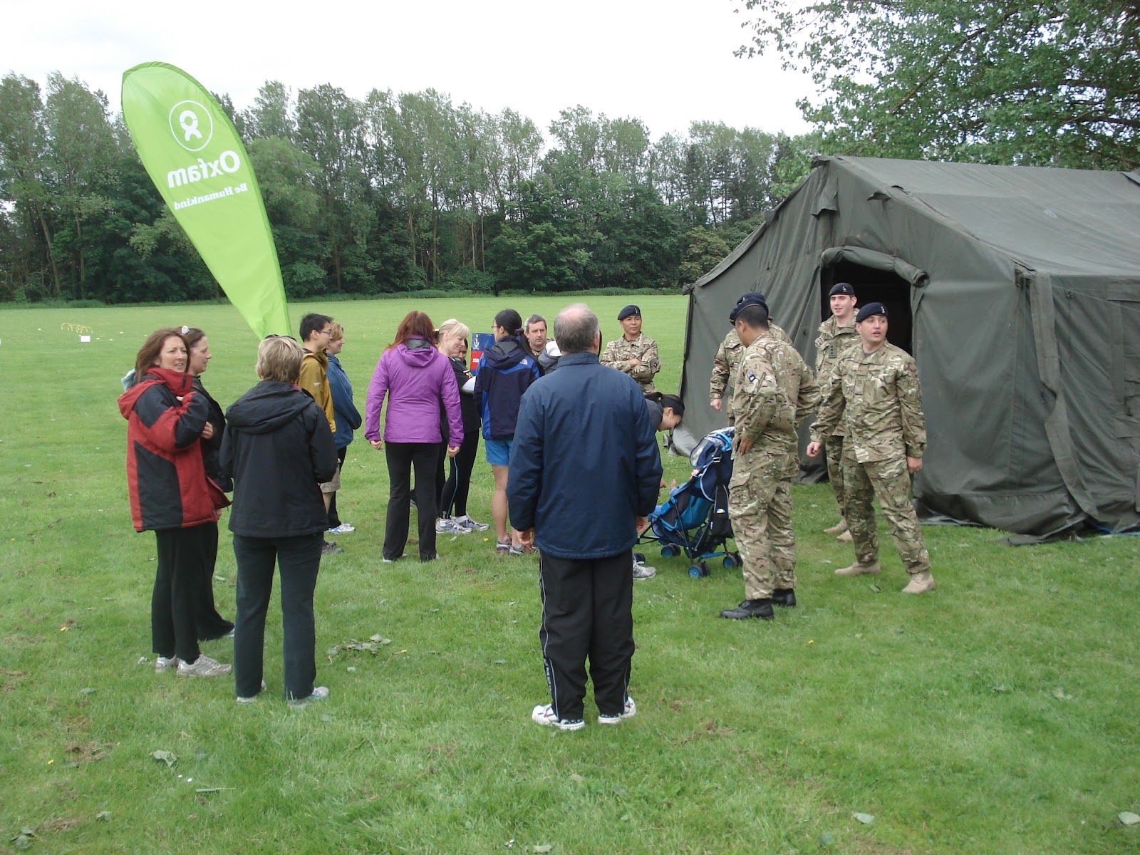
A short walk around the perimeter fence and we found the field tents from where today's operations were to be commanded and banners announcing the 250 Queens Gurkha Signals as we grabbed coffee and soon bumped into the Bun Loving Criminals - a great group of ladies if you get a chance to meet them. We were rounded up into the main tent and welcomed by the Major and provided with the running order for the day which meant the physical activity would be done in the morning in order to ensure our lunch stayed down which was greeted with much nervous laughter.


Everything but the kitchen sink
The first presentation was on Medical Advice, particularly dealing with blisters and prevention. A slide was put up which in their admission was the tamest one they could find of the entire back of the heel of the foot with an exploded blister and red raw skin beneath. It was explained that ideally Compeed should be used on known hotspots before blistering not as treatment afterward. Zinc Oxide tape was also highly recommended though an example of its misuse was provided during a joint operation with the RAF. Apparently after a march, an RAF airman had rubbed up a large blister and then decided to apply zinc oxide tape to ensure he could continue the following day which he did. However, due to the sticky nature of the tape, he managed to remove the tape along with said blister and required hospitalisation for 3 weeks thereafter! We were advised on carbing up the day before, during and after and also drinking plenty of water the day before, during and after. It was interesting to note that caffeine tablets and caffeine based energy drinks were not recommended to be taken because of their diuretic effects.

Bergens full of house bricks maybe?
The room was divided into two groups and we were sent to the far corner of the field with three members of the Vale Venturers for kit familiarisation and 'Tab'-ing (which we found out was walking with kit at no slower than 15 minute mile pace). Arriving in the corner of the field we found two Gurkha soldiers, an array of kit laid out on the ground and a bunch of SA80 rifles. The kit on display included everything they would take and carry on a  two-day training operation in a 'Bergen' - the backpacks they carry. The kit included their sleeping bag, mattress, spare T-shirts, spare boots, shaving kit (they still have to shave daily in the field), boot polish, gore-tex waterproofs, ration packs, their waist webbing which includes water canisters and spare magazines with about 180 rounds of ammunition. All this weighed in at about 15kg. Noting a pile of fully packed Bergens we were quickly offered the opportunity to try them on and handed the optional SA80 rifle adding another 5kg to be carried. On top of this little lot, they would also wear body armour and depending on the plates could easily add another 8-9kg to their load (and I thought my 6kg 30litre daypack was hefty for a days yomp)

Gurkha recruits Mark, Lee and Martin
Once fully loaded we were off in two-abreast formation for a 'Tab' although the Gurkha soldier indicated it was more of a 'walk' and too slow for a 'Tab'. Marching us off around the perimeter of the base we soon got an appreciation of what these guys go through on long march. The straps soon started to be felt in the shoulders and we tried to work out how you could easily fire your rifle if you came under attack, something we found difficult with a pack on. Back at the start point we were relieved of our rifles and Bergens and then taken through a range of stretching exercises, each working different muscle areas as we went through the routine. This was really useful as we discovered some great stretches for the calf - an area I've had particular problems with.

The Circuit of Death
Our stretches done, it was time to swap with the other group and head for the Circuits and Aerobics area or 'The Circuit of Death' as it should be renamed. Our PT instructor and two eager Gurkha assistants took us round the circuit to demonstrate the exercises to be done at each station bearing names like Supermans, Thrusts, Bungees, Plank, Weighted Sit-Up, Sprints, Medicine Ball, Alternative Medicine Ball, Press-Ups, Squat Thrust, Squats, Lunges - names filling me with dread and designed to work different areas of the body or in my case inflict pain.


After the demonstration, we were off for the warm-up, a gentle walk around the circuit - so far so good I thought. This soon progressed to jogging and the need to touch the ground with various parts of the body as instructed along with direction changes on the instruction of the Gurkha PT instructor. By the end of the warm up I was already feeling like I'd had a good workout but the real pain was yet to come. We would have an initial 10 seconds at each station to familiarise ourselves with the activity before being told to move to the next exercise. After completing the next exercise this was increased to 40 seconds at each, then 15 seconds then 5 seconds - each one requiring we move to the next one as rapidly as possible. Towards the end I was finding it was taking at least 5 seconds to get off the ground! With the torture session over it was time for more stretching and a demonstration of the use of a foam roller.

Gurkha curry - you'll want more!
Leaving the Circuit Area we were off to the Mess Tent as the Gurkha Chefs removed the covers from the most amazing display and we were greeted by the welcoming smell of curry. Naturally we had to try everything on offer and we agreed it was as good if not better than anything we had tasted in a restaurant. As we were joined by the hungry Gurkha soldiers we got the chance to chat with them as most had done Trailwalker in the past and they explained that for them to have the fastest time gave them the bragging rights over other areas of the military so they are pretty keen on who gets selected to do it each year. Fortunately there was plenty of curry leftover so after the mornings activity we justified second helpings but it still left us wanting a doggy-bag.

After lunch it was back into the tent for a presentation on the history of the QGS, their formation and areas of operation. It was interesting to learn about the selection process for the Gukhas that there are 30 applicants for every position such is the demand in Nepal to become a Gurkha soldier in the British Army and they would then normally serve 22 years though sadly with military cuts, a number of them will have their careers cut short.

Not sure I'd want to spend the night in it
Following the presentation on Training and Preparation, we were off for the final task of the day which was the Command Task. Separated into our two groups as before, we were presented with two taped off squares an array of tent poles, spikes and tent canvas all laid out on the ground. The rules were that we would have to erect the array of tent paraphernalia into a 9' x 9' tent but two people would remain outside the square providing instruction and 6 members inside the square who were not permitted to talk. Sounded straightforward enough and our Red Team were quickly in the lead with the frame up only to find that one of the horizontals was shorter than the rest. In error, a shorter pole had been matched with a longer pole requiring the frame to be dismantled to find the problem. 

A quick re-erection had the frame back up and us still ahead of the Blue Team and ready for the canvas. At this point a member of the team (who shall remain nameless) gestured that the canvas was upside down, so quickly flipping it over it was soon over the frame only for it to be realised it was now inside-out requiring it to be removed and flipped over again costing us time and allowing the Blue team to marginally snatch victory from the jaws of defeat.

This simple exercise was explained to us as an example of working as a team to achieve a goal. For Trailwalker we're going to spend a long time in each others company, for a chunk of the distance we will get by on conversation and banter but this will dry up, we will get irritated by annoying habits of our team mates, we will have low points and will need our other team members to pick us up to get us through it. It is as much a mental as a physical challenge.

With time left for some group photographs at the end, we said our thanks and goodbyes to our amazing Gurkha hosts and if you are reading this with a view to doing Trailwalker in the future we would strongly recommend you do this if you get offered the opportunity - it's inspirational and motivational (and the aches and pains will soon be forgotten)

Thank you 250 Gurkha Signals for a great day

27/05/2012 - Highways, Byeways and Waterways

With Mark off sunning himself in Cyprus, the rest of the Red Harrows got up at 6.30 for an early departure on Sunday morning, the sun was already warm. We were meeting for a Long Distance Walkers Association (LDWA) event with a start at 8.30 and, according to Littleborough Lion's Circular Boundary rules, we had to set off by 9am. This didn't leave much time for registering, donning boots and making last minute kit decisions. 

All over suntan lotion was one requirement -  only Lee did without. Polly's aim was to get maximum sunnage on the route...well, how often does it feel like you're training in the Pyrenees while in the Pennines? A feeling that was intensified by the sometimes dusty, sandy tracks we were to be walking on. 

The M62 in all its glory
Nevertheless, we managed to leave on time and were the last of the day's Challengers to start, many of whom set off at the slightly cooler time of 8am. It is an annual event taking in a fantastic circular route of 20 miles with spectacular scenery-although I'm not sure in the cold mist of last year we would have been so smiley by the end. 

A good part of the 1st section constituted a steady climb, much of which was into headwind. Albeit that we were dressed for the Med, so we can't really call it cool, the wind still kept conversation to a minimum and our sweat no sooner produced than evaporated.


Look - a mobile phone mast!
As we headed East we stayed pretty much parallel to the M62, up to Windy Hill check point (valiantly living up to its name), before crossing over at the highest point of motorway in the UK. From this viewpoint we were reminded of footage of 1960s daytrippers watching high speed cars from deckchairs with flasks of tea... 

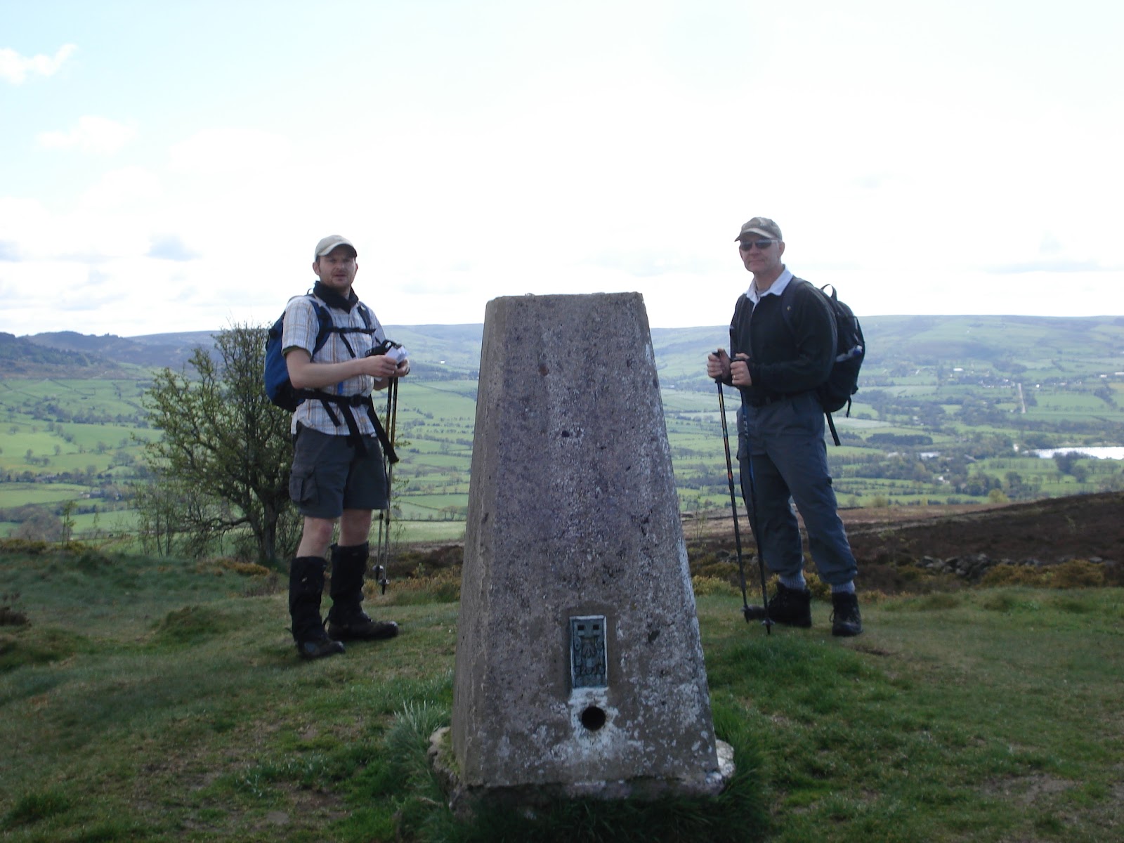
From there we continued to climb to the high point of the route, Blackstone Edge, a rocky outcrop that wouldn't be out of place in a sci-fi, but providing excellent views. After the obligatory kiss-the-trig stop and photo op, we were on the move, down to checkpoint 2. 

It was somewhere round here that the game invented by Polly near the start got corrupted by Lee and Martin. Having realised that we were setting a good pace, and overtaken another group of Challengers soon after setting off, we thought we'd have a wager on how many groups we'd pass on the course. 


An excellent view
When it was clear that Lee and Martin's guesses of 5 and 7 were far off the mark, desperate number-reduction-rules were hastily put in place. The once simple idea got modified (if at checkpoints it doesn't count) and modified (if standing still, doesn't count) and modified (no walkers with dogs) in a desperate attempt for Lee and Martin to stay in the game, against Polly's more realistic guess of 10 groups... 

But what is "fair" when it competes with the tyranny of numbers?? Call it "democracy" if you like, but it's a corrupt form.


Lee and Polly caress the trig point
Feeling bolstered by the goodies at checkpoint 2, we passed a succession of reservoirs before dropping further, steeply down to the canal marked by a stone noting the Yorkshire / Lancashire divide, taking another quick sandwich break at what was about halfway. This seemed to replenish Polly's energies as we strode off and up again to checkpoint 3. 

From here on the route took several twists and turns, including across a spectacular winding sandy track cutting across sweeping green open hillsides, not unlike the approach to Devils Dyke at Checkpoint 7 of Trailwalker.

By now the wind had dropped, our ear drums returned to normal and conversation became less shouty. However, it wasn't long before we bemoaned the passing of the coolness it provided...and wished for just a little of the breeze to return. 


The Border - Passports please...
When we came down from here the next stop was checkpoint 4: the scouts meeting hut, complete with - for the second time that day - tea, bananas, soreen, mars bars and even sandwiches and salad. Top notch. 

So with a little more than an hour to go, with our goal of sub-6 hours for 20miles still in sight, we set off for the last stretch with about 5 miles to go. The last part was pretty much head down as our conversation stores ran low. 

Around this point, we passed one older Challenger with a walking stick (not poles), who was completing his 10th event, confidently telling us that this one "isn't a hard one". I wonder what he classes as hard?! 

We did make one small diversion in the last mile, mistakenly dropping down to the lake and finding ourselves amidst slightly amused Sunday sunseekers, pushchairs and family strollers. 

Martin - the last boy scout...
We had become complacent in following the pieces of tape blowing helpfully in the wind at every awkward fork and stile. Somehow one or two pieces must have been relieved of their duty by someone with nothing better to do than confuse tired walkers... 

While it didn't add much to our overall distance, it did cause amusement of the older guy who wondered how we'd managed to come in after him?! 

No sooner had we checked back in at the club house, did we make use of the bar and sit down to some grassroots cricket in the blistering sun and assess our red patches, heat rash and blisters. A good day was had by all. 

26/05/2012 Training in the Akamas Forest - Cyprus

Now just because you're going on holiday, doesn't mean you can skip the Trailwalker training schedule I told myself. A holiday in Cyprus and staying right on the edge of the Akamas Forest offers a wealth of training opportunities in a place I've visited on several occasions over the years. The only issue was that this training would have to be done solo as my wife Kate having been dragged on a 10 miler last year informed me "Never again" and my in-laws having been dragged up what we now call "Andrew's Mountain" three years ago (more on that later) were somewhat reluctant to join me again and opted to stay by the pool.

Andrew's Mountain in the middle seen from the villa.
This left a few logistical issues to deal with. Firstly, before working out how far to plan, I'd need to work out how much water I'll drink to ensure I can get back without becoming dehydrated in temperatures pushing 30 degrees. My Camelbak is a 3 Litre and I can carry an extra bottle so planned for 4 hours. The second issue was the midday sun, from past experience, not something to be out in here and conform to the 'Mad Dog and Englishmen' stereotype. I decided I'd do two walks, one setting off early and returning by 11am and then a second setting off around 2pm to avoid the worst of the heat and test my recovery powers.


The picnic area at Smigies
Up at 6:45am (an ungodly hour in anyone's dictionary but on holiday it should be illegal) I was on the trail at 7:05am. My plan was to walk from our villa, into the Akamas and reach what we call Andrew's Mountain. 

The real name for this hill is Pano Vahines a flat-topped hill at 370m above sea level. The story behind its alternative naming is that three years ago, I dragged my father-in-law Andrew and his partner Helen out for a little stroll. After taking a the wrong path (the maps aren't good here) we ended up climbing upwards from near sea-level along a zig-zagging goat trail. About half-way up, Andrew informed me he suffered from vertigo and froze.

Faced with calling in the helicopters we managed to inch our way upwards with him looking at his feet and me on the outside of the trail stopping him looking down. While he was a nervous wreck at the top and drenche din sweat - he did it and since then we've renamed it in his honour.

This chap didn't make it across
This time however, my plan was to take the widely used route behind the mountain and a route which would take me about 10km to the summit and the same back again. The bonus of setting off early is the serene peace of the place around you - nobody about and nature just beginning to stir onto life. I was soon past the popular picnic area at Smigies and along the trail past the Fire Lookout Tower. The one thing to be wary of in the Akamas is snakes. There are 8 different species from memory and most are harmless but the one that is potentially deadly is the Blunt-nosed Viper. Up until last year, I'd never seen a snake in the Akamas until a 6ft long black snake crossed the trail infront of me and my wife so I am constantly scanning the trail ahead these days.

Looking northwest from the top of Andrew's Mountain
The dusty trail winds in and out and up and down and most of the time the summit is in view but seemingly not getting any closer. The air was starting to warm up rapidly and the white dust of the trail reflected the heat and light making shades essential to avoid 'snowblindess'. 

One useful hint I've picked up is to blow back the water in the Camelbak once you've had a sip - this avoids the water in the tube becoming tepid and keeps the contents of the Camelbak cold even after four hours in the heat.

Eventually I reached a familiar section of road leading to the base of the mountain and was soon hiking to the summit. 

Reaching the top at just under my 2hr target, I decided to down a banana and an Alpen bar while taking in the view and looking down at the goat trail below the cliff - perhaps I'll get chance to drag my wife up it before this holiday is out.

Grasshopper Island
A quick check to see how much water was left in the Camelbak found it was about half-way and I was soon off on the return leg of the walk back to the villa. The whole time I passed one Cypriot in a pick-up and a couple sat at one of the benches at the Smigies picnic site and that was it managing to get back to the villa by my 11am target time completing the 19.3km with 496m of climb in 3hrs 47mins. 
Returning back to the villa for a cooling swim and a bite to eat, I noticed I'd rubbed up a blister on my right heel - not somewhere I'd previously had a problem with so dropped a blister plaster on it and taped my feet up (having decided not to bother in the morning). The right calf was feeling tight again and no attempts at stretching seemed to relieve it which didn't bode well for the afternoons walk. 

The west side of the island looking south to Seacaves
Setting off for the Akamas again at 2pm was a little harder but once again I headed towards Smigies via a different route and my plan this time was to head to the coast path and go South. This is a route I have not been on since I was on holiday here 7 years ago and was joined by Red Leader as we inadvisably took a hire car along this route built for four-wheel-drives and mountain goats only and I'd forgotten the twists and turns as the road winds in and out of the mountainside, descending to a low point before climbing all the way back up. While the view across this side of the island is spectacular, you have the feeling of going nowhere fast thanks to the constant twists in the road.

Here come the goats - let the staring commence
My plan was to walk for 2hrs or about 10km and then turn and head back. As the road climbed to the top again I came to a junction in the road and realising that I could get back to Smigies a different way, I decided to risk the unknown and take the different path. I was quickly met by herd after herd of goats who regarded me with instant suspicion and froze dead in their tracks. As I continued to approach, panic ensued as the goats realised I was still coming towards them despite their best efforts to stare me out. Scrambling up the sides of the trail, the goats parted in front of me obviously terrified they would end up as some sort of kebab.

Welcome to the Wild West - Hunting Prohibited

This was obviously a more popular route than the twists and turns of the coast road as first quad-bikes and then hired hatchbacks came trundling past me leaving me wondering how it was we didn;t find this road 7 years ago and instead endured the twist, turns and cavernous potholes of the coast road in our humble hire car. This was also backed up by the route being 2km shorter on the way back than it was going thanks to the twists being ironed out getting me back to the villa well ahead of schedule after the reduced 16km walk with 412m of climb in 3hrs 13minutes


The days total stands in at 35.3km, 908m of climb and 7hrs of walking which was a pleasing total in the heat and good preparation should we by some miracle have a proper July for a change. 

Things learned from this hot walk:
1. Water consumption was about 50% higher needing about 650ml-700ml per hour
2. Blowing water back down the tube of your Camelbak keeps it refreshing
3. Factor 50 does the job nicely - no sunburn after 7 hours in the sun
4. Feet sweat - a lot - definitely change those socks
5. A change of underwear is advisable - must look at wicking pants!

19/05/2012 - Plains, Trams and Watery Fields

Lee and Polly were off to the Yorkshie Dales this weekend for a friends birthday - but no doubt they would be getting some miles in. It was left to Mark and Martin to hit the trails locally this weekend. 

The weather forecast wasn't looking great for Saturday. Mark had planned two routes depending on the weather, one on the Clwydian Range (not great in poor weather) and another on the Peckforton Range in Cheshire (not great in poor weather - but better than being exposed on the Welsh mountains). Both walks were anticipated to be 7hours of walking (excluding breaks). We opted for the Peckofrton Range as the forecast was showing rain into mid-morning and the 34km planned route was logged into the Garmin.

Driving through persistent drizzle on the way to rendezvous at The Pheasant, did not bode well for today's walk. Mark had fully filled his 3Litre Camelbak and thrown in two bottles of Lucozade Sport for good measure, a handful of Clif Bars, a tuna and cucumber sandwich, two pairs of socks, a mid-layer fleece as well as all the usual navigational paraphinalia he carries - seldom had his pack weighed so much. In true F1 style, we agreed on a two stop strategy of not more than 10minutes to try and start preparing for being supported by our crew. The plan was to stop after 2.5 hours and 5 hours leaving us a 2 hour walk to the finish.

The Tramway from the bottom
We set off from the Pheasant at 9.10am and headed off for the trail which would take us to the now infamous Tramway (see our previous blog on this). Now Mark had yet to experience the Tramway. He had heard the tales of those who had gone before him and survived to tell the tale. "How hard can it be?" he asked himself having previously survived The Cloud cliff path and Shutlingsloe Hill. On approaching the bottom of the Tramway - he soon had his answer.

The vision of two parallel lines disappearing and curving upwards was enough to turn the legs to jelly even before we got started. Martin explained there was only one rule - no swearing on the way up. A few gulps of water and and a with a wry smile from Martin they set off. Mark was soon regretting tackling this early in the walk with a full backpack. The 'no swearing' rule was quickly broken and Mark was not even half way up before the burning sensation in the calves started. 


Step by gruelling step we climbed, the mud in between the sleepers slippery underfoot, the distance between the sleepers making it a further to reach than climbing steps and as we got further in, it began to fell like a ladder - Jacob's ladder perhaps, we're ascending to heaven, we must be dead - Mark began to hallucinate as the sound of his heartbeat pounded in his ears and Martin decided to film it so that it could be enjoyed posthumously by others who thought to attempt the Tramway.

The drizzle keeps on coming...
At last we reached the top, legs completely jellified and looked back down the track now looking more like a descent into Hell than a Stairway to Heaven. Other than that - we  can thoroughly recommend it! Gradually descending Bulkeley Hill with heartrate recovering we headed gradually down the back and round Bickerton Hill. 

As we began to climb towards the summit, we realised we'd taken a slight wrong turn and were meant to go down to the bottom again before taking a trail up the face. Retracing our steps we were soon looking up the face of Bickerton Hill but the marked path was nowhere to be found until we spotted what looked like a trail running straight up the face. 
"That must be it" we decided so started on upwards only to realise that this was probably a route cleared by badgers as the undergrowth soon closed in on us. With the Tramway only a recent memory, we found ourselves once again heading steeply upwards on not so much a trail as a stream bed carved out by rushing water. Eventually we returned to the trail at the top which took us round the top fo Bickerton Hill as the drizzle beagn to ease and we began to descend once more.

By the time we had reached the bottom of the hill we were bang on 2.5 hours and searched for a convenient perch for a pitstop. Martin managed to make a bus-stop magically appear so the opportunity was taken to take a load off, scoff a sandwich, Clif bar, down a bottle of Lucozade and change socks (well for Mark in anycase). All managed nicely in 10 minutes and we were off again pleased we could manage it in the allotted time.

Looking out from Raw Head
The quick re-fuel stood us in good stead for the ascent to Raw Head, the highest point on the Sandstone Trail and this was quickly dispatched as we headed back towards The Pheasant to mark the first half of the walk and bottom part of this 'figure-of-eight'. At 3hrs and 45minutes for the first half of the walk (the hilly bit) with a stop thrown in we were quite pleased with progress knowing the next half was out onto the Cheshire Plain and other than the ascent at the end should be quick. What we had failed to take into account however was that water runs downhill, off mountains and into fields.


The Cheshire Plain unfolds in front
Passing first Peckforton then Beeston Castle and over the Shropshire Union Canal, the Sandstone Trail  became a tad boggy underfoot. This was nothing compared to what was to come. The route took us off the Sandstone Trail on a public footpath towards the Eddisbury Way.

As we approached the point we would leave the Sandstone Trail, there was no sign of the footpath as the farmer had recenlty tilled the field. Nothing else for it but to plough on (pun intended) across the field gradually picking bits of it up on our trail shoes as we progressed and feeling steadily heavier with each step. Finally reaching the stile in the corner of the field we hopped over to find a field full of thigh deep (waist deep on Martin) wet grass and no desire line where the path should be. A quick glance at each other and across we went boldly going were others seemed to feared to have tread. At least the grass had cleaned the mud off the shoes and we expressed relief we had yet to remove our waterproof trousers. This was proving harder going than the hilly section.

Beeston Castle
Climbing over a stile-bridge-stile combination, Mark managed to slip and plant his left foot briefly into a pool of stagnant water - not pleasant but merely preparation for the next field. An electrified fence guided us along the boundary of the field until we reached a flooded section of ankle deep water. Nowhere to go other than over the electrified fence and round it. 

We soon found however that the field was perhaps more suitable for the growing of rice. With each step we found water deeper than our boots would permit and after several attempts at trying to find dryish spots, we decided to embrace our watery fate and just went for it. 

Once again we broke the 'no swearing' rule as we splashed through the flood knowing not even the miracle of GoreTex would be capable of preventing the inevitable squelchy trudge that would follow.

After clearing what we hoped would be the worst of the fields and reaching the Eddisbury Way and concluding this must be better- because it has a name (though I won't share the string of expletives we called the preceeding footpath) we decided to at last have a well earned pit-stop after 5hrs and 45minutes. Again setting aside 10 minutes, Mark demolished his other sandwich, a Clif bar, downed another bottle of Lucozade Sport before changing his socks and retiring a fairly sodden pair to the backpack. It was also welcoming to ditch the waterproof coat and change the sweat-soaked T-Shirt (a big welcome relief). As Martin's change of socks were waiting at the car, the best he could do was tip the surplus water out of his boot and then we were off down the Eddisbury Way which was mildly better than the 'Footpath-now-known-as-a-string-of-expletives'.

Having damp feet and soaked boots raised the increased possiblity of blisters as the skin softened, but there was little choice than to press on. As we did so we came across several groups of DoE teams and not wishing to look like a pair of guys, who are walking this way because they've already done 25km and have soaked feet, we set about overhauling the whipper-snappers and by the time we came to climb Peckforton Hill, we had overhauled three of the teams. Feeling chuffed, we hit the hill with gusto and hit the magic 33.33km figure at 7hrs 20minutes - one-third of Trailwalker! Mulling over what time that might translate to over the 100km we hit the next obstacle, a series of stepped plateaus created with logs, each one seeming to get higher than the preceeding one. It was good to see after this length of walk we still had enough in us to climb and then we were descending through the grounds of Peckforton Castle and out of the gate.

Martin then reminded Mark we still had to go up through 'that field' and it dawned on Mark the climb wasn't yet over and worse still, the field had also just been tilled, meaning another long trudge over freshly turned soil. At last coming over the final hill and descending to The Pheasant, we realised how much our feet were aching and mulled the prospect of having to do it another two times to reach Trailwalker distance. As we reached the cars and began to deposit our gear, Martin removed his socks and wrung out a trickle of water from each and after a quick change into dry socks and trainers, we walked like a pair of gunslingers into the Saloon of the The Pheasant and downed a pint of Weetwood's finest. Never has a pint tasted so good or been drunk so eagerly (well except perhaps in Ice Cold in Alex).

The walk turned out to be 36.53km with 706m of climb in 8hrs 8minutes and thankfully we were blister free.

12/05/2012 - Training on The Roaches

Following a good evening walk on Wednesday where Mark, Martin and Lee were joined by Support Team member Simon (managing to shave 6minutes off their previous time), plans were made for Saturday's 6 hour walk to The Roaches and back.

The trig point on Gun Hill with The Roaches behind
Meeting up at 9am at the now infamous Knot Inn in Rushton Spencer, Mark, Lee and Martin set off into the unknown as none of us had ever taken this route before. Despite the apparent good weather for a change, it rapidly became clear that the Peak District had received more than its fair share of the recent heavy rainfall, fields had become boggy and thoughts turned to whether or not we should have donned boots instead of trail shoes but we persevered on the steady climb to the top of Gun Hill which seemed to pass very quickly.

To add to the boggy fields problem, we seemed to come across more and more electric cattle fences blocking our path with no convenient means of unhooking. We have developed a knack for dealing with these using our walking poles. While the shafts are aluminium the rubber handles keep us insulated allowing the wire to be lifted or pressed down allowing teammates to pass. Martin always seems all to willing to test this out and sacrifice himself for his teammates in this respect.

Hen Cloud getting closer
From the top of Gun Hill we descended to Tittesworth Reservoir, a place where Mark has brought his kids to feed the ducks on previous occasions but as this marked the low point and Hen Cloud was becoming ever more present we started our upward path. The plan was to go around the base of Hen Cloud and ascend from the far side, coming over the top and down towards The Roaches. As we crossed the ford near Upper Hulme, we lost all sign of the footpath we needed to take, no signs, no desire lines, no stiles and no gates. We retraced our steps and still nothing, so a quick examination of the map and we changed the plan to approach Hen Cloud from the front and walk round the base of the hill itself which meant walking back the way we had come.

The cliffs on Hen Cloud
Noting signs warning us that some paths were closed due to nesting Peregrine Falcons we wondered whether this would affect our plan but it didn't and they remained safely undisturbed in their nests. This route took us past Roaches Hall which looked a nice little place and we soon started our ascent to the top. Arriving at the top, we took in the view and the rugged beauty of this place and after 3hours of walking decided this would be a good spot for a a bite to eat so setting aside 10 minutes we tucked into sandwiches, Lucozade, peanuts and Polly's 'energy cake' which she had dispatched Lee with. After throwing in the now customary foot check for Mark, we were soon descending Hen Cloud and heading up The Roaches.

Climbers on The Roaches
The Roaches is a very popular with walkers and climbers alike and today was no exception as the trails and cliff faces were teeming with people. At one point we could see Lee eyeing up the climbers taking the 'vertical' route and pondering but we managed to drag him away before he could come up with another sadistic test for us.

We passed Doxey's Pool where legend has it a mermaid lives and entices victims into the depths of this 'bottomless' pool. Though no evidence existed today, we didn't linger too long and carried on to the trig point passing some interesting windswept and eroded rocks on the way.

No mermaid at Doxey's Pool today
Once passed the trig point we were again coming down and the route had been planned to take us through Lud's Church somewhere Martin and Lee had never been before and a place steeped in legend. The route was fairly arduous as the trail was boggy, fast flowing rainwater had eroded the peat to expose tree roots and high winds had brought trees down across the path making it heavy going. Dropping carefully into the chasm in the rock, we worked our way along the bottom, stopping to check on the geocache hidden there (a hobby of Mark's) and sign the logbook before working our way to the very muddy exit.

The Lud's Church chasm

Back on the trail which was in much better condition we worked our way back towards the end of The Roaches and along the boundary of Swythamley Hall and noted a number of large felled trees and wondered whether the recent Oxfordshire tornado had detoured this way. In the valley below we noted a building and reading the letters on the side identified th as the 'Wincle Brewery'. A detour was debated to the brewery but then we felt better of it as we we had pie and chips awaiting in the Knot Inn. It was at this 22km point Mark suddenly got an inconvenient twinge in his right calf but he managed to stretch it out.

We completed this 27.5km with 663m climb training walk in 6hrs 12minutes, a little longer than we had been looking for but put this down mainly to the conditions underfoot and negotiating the many electric fences.